

Aggressive Push for Data Centers on Public Lands ..
Special Interests are aggressively attempting to push through legislation that would enable them to build data centers and resource extraction operations on your public lands with reduced accountability, the “locking in” of permits, and get reimbursed by taxpayers (YOU) if an approved permit is reversed.
AI is certainly here to stay. But this extraordinarly cavalier push by special interests to eliminate all accountability and public feedback and comment is beyond belief. These are YOUR public lands. Now is the time to let your voice be heard.
🔴 The Big One: The Senate bill that would lock in data centers on your public lands
Where: The U.S. Senate, and every acre of federal public land. The bill is S. 5653, the Bipartisan American Affordability and Jobs Act, from Sens. Capito (R-WV), Lee (R-UT), Whitehouse (D-RI), and Heinrich (D-NM).
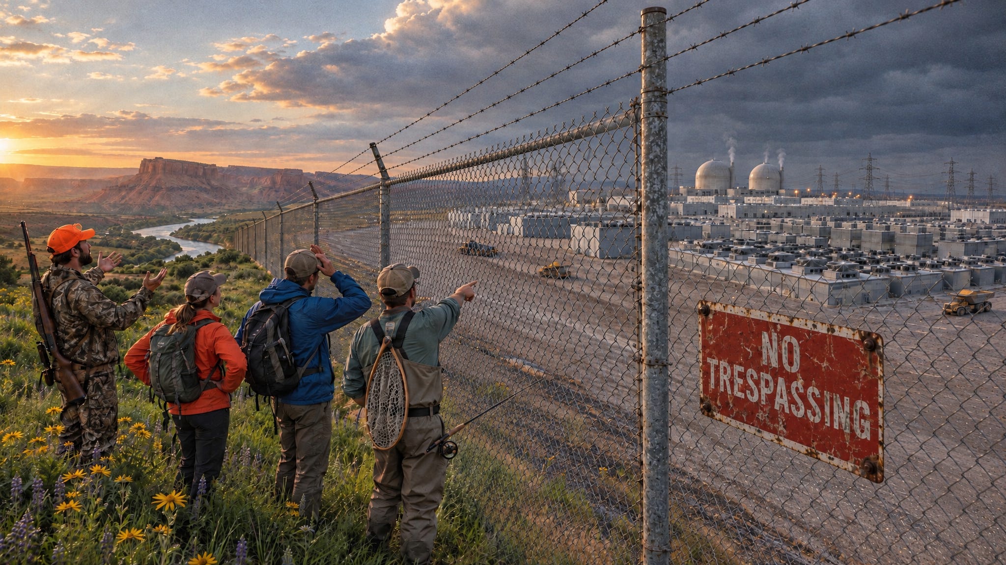
What’s happening: Last week I told you about this permitting bill. The Senate’s first vote is Monday, Nov 9, and new analysis this week shows what it would mean for a rush that’s already underway. The Bureau of Land Management is now weighing at least 35 applications for data centers and related infrastructure on more than 24,000 acres of public land in Arizona, Idaho, Nevada, Oregon, Utah, and Wyoming. One proposal in eastern Utah would cover more than 9,000 acres and run on small nuclear reactors. There’s no permitting process for data centers on public land at all. The first one approved, near Boulder City, Nevada, skipped a new environmental review and public comment, and a judge just sent it back to start over.
Why it matters: The Center for Western Priorities says three parts of the bill would make approvals like that permanent:
Section 1401 locks permits in. Agencies couldn’t revoke or change any federal permit in effect on or after Sept 16, 2026. If a court finds the environmental review was flawed, construction keeps going while it’s redone, and challengers get just 150 days to sue.
Section 1402 makes taxpayers pay. If an agency changes an approved permit and the project can’t go forward, taxpayers would owe the developer 25 to 50 percent of what it has spent.
Section 2215 is a mining giveaway. Mining companies could claim nearly unlimited public land for waste dumps, roads, pipelines, and power lines tied to a mine.
The bill also requires just one public comment period, at the start, and only for the most harmful projects. That’s the land hunters, anglers, hikers, and riders use now, and once it’s locked in, it doesn’t come back.
A fair note: This bill is bipartisan, and it would also speed up power lines and renewable energy. Sen. Heinrich, a longtime public lands champion, says it “will age very well.” The ask isn’t “kill permitting reform.” It’s “fix these sections, and don’t hand our public lands to data centers before the public gets a say.”
Deadline: The first vote is Monday, Nov 9. Call before then.
Take action (2 minutes): Call your two senators through the Capitol switchboard at (202) 224-3121, or look up their direct lines. Say: “I’m a constituent from [town]. Please oppose the permitting bill, S. 5653, unless Sections 1401, 1402, and 2215 are removed. And please support a pause on data centers on public lands until the public gets a say.”
See what’s proposed near you: The BLM Data Center Tracker maps every application.
Groups fighting this: The Center for Western Priorities built the tracker and published the analysis. The Wilderness Society is calling for a moratorium on data centers on public lands. And more than 100 groups, led by the Center for Biological Diversity, asked Congress last week to oppose the bill.
⏰ Closing Soon: Emergency logging in Montana’s grizzly country
Where: The Quill Pig project, Swan Lake Ranger District, Flathead National Forest, about 4 miles south of Swan Lake, Montana
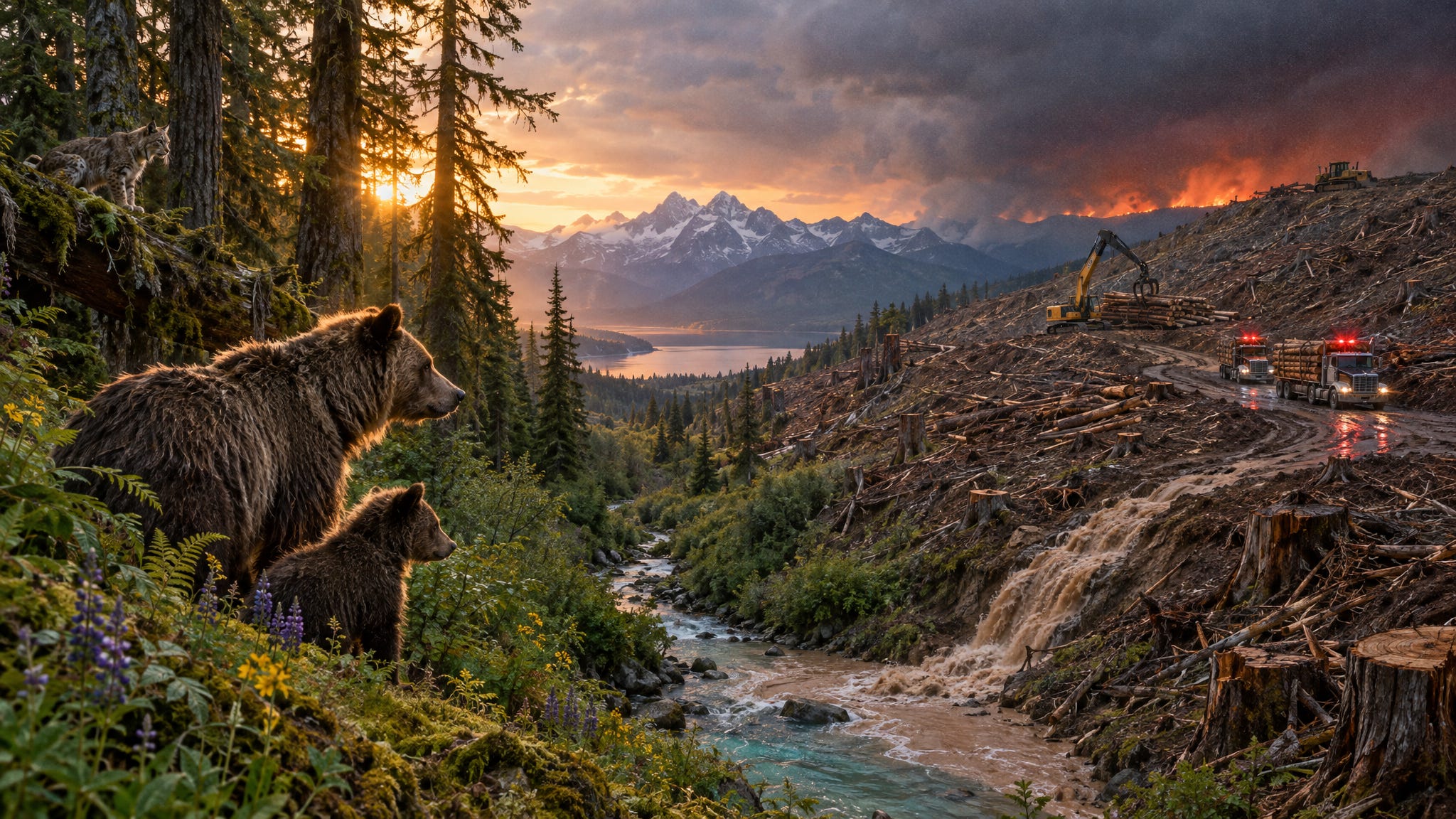
What’s happening: The Forest Service wants to log about 3,921 acres, 3,268 of them commercially, with 4.6 miles of new temporary road and about 27 miles of log-haul routes. About 99 percent of the logging units fall under an emergency designation, a shortcut the agency hasn’t explained.
Why it matters:
Grizzlies and lynx. The whole project sits inside the grizzly bear recovery zone and lynx habitat, yet the document never discusses effects on either species or says whether it has consulted wildlife officials.
Streams. About 730 acres of commercial logging would happen in streamside zones, with no analysis of what it would do to the water.
Protections not written yet. The agency admits the measures meant to protect water, wildlife, and soil are still being drafted, so you’re asked to comment on a plan without its safeguards.
Some clearcut-style openings would top 40 acres, the largest about 81 acres, in a valley the forest plan says should keep old forest connected.
A fair note: Nearly half the project area sits next to the Swan Lake community and private homes, and the agency says dense, insect-killed stands raise fire risk. That’s real. The ask isn’t “no logging.” It’s “show us the safeguards and the wildlife analysis before you sign.”
Deadline: Tuesday, Nov 3
Take action (2 minutes): Ask the Forest Service to publish the protective measures before deciding, explain why this needs an emergency shortcut, and disclose its grizzly and lynx consultation. PLAN walks you through it, or you can go straight to the Forest Service project page.
Groups working on this: Swan View Coalition and Friends of the Wild Swan have fought Swan Valley logging for years, and this year they sued over another Flathead project they say used a “fabricated” emergency. I couldn’t confirm they’re on Quill Pig yet. If you hunt or fish the Swan and know who is, reply.
📍 From the Field: A 20-year gold mine near Hereford, Oregon
Where: The Reeds Gulch placer mine, BLM Baker Field Office, Baker County, Oregon, near the small ranching community of Hereford
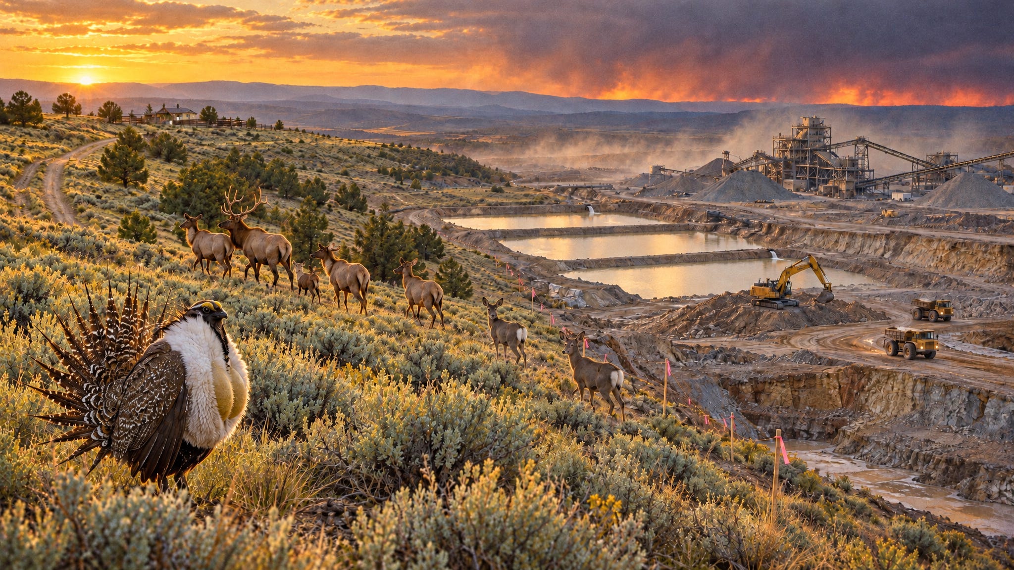
What’s happening: The Bureau of Land Management is reviewing a plan to mine gold across 820 acres of public land for 20 years. Mining would happen on about half of it, with test pits, excavation pits and trenches, a processing site, and three settling and recycling ponds.
Why it matters: Eastern Oregon’s sagebrush and draws are hunting and grazing country that most people never see, which is exactly why a 20-year industrial footprint can slip through quietly. BLM is using a lighter environmental assessment, not a full impact statement. Comments now are the chance to ask the questions that should come before any digging: Where does the pond water come from? What happens if a pond fails? How much bond is set aside for cleanup if the operator walks away? And what does 20 years of pits and trenches mean for the deer, elk, and sage grouse that use this country?
A fair note: The plan calls for reclaiming each site as mining moves on, and there’s no blasting. The ask isn’t “no mine.” It’s “show us the water plan and the cleanup bond before you approve 20 years of digging.”
Deadline: Friday, Nov 20
Take action (2 minutes): Comment on the environmental assessment through BLM’s “Participate Now” button, or email BLM_OR_BK_Mail@blm.gov with “Reeds Gulch EA” in the subject line. Ask them “Show us the water plan and the cleanup bond before you approve 20 years of digging.”
Groups working on this: I haven’t found anyone speaking up publicly on Reeds Gulch yet. If you live in Baker County or hunt the Burnt River country, reply and tell me. I’d like to feature the people who know this ground.
Last week, you showed up
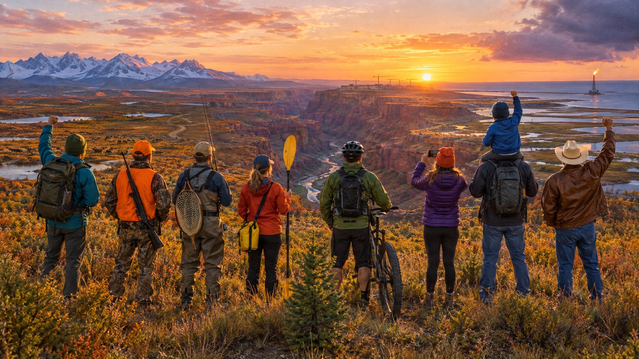
The Fall Creek window closed Wednesday, and Brian Head closes today. These fights from earlier issues are still open:
⛏️ The first mine on Alaska’s Ambler Road, due Mon, Nov 2 → Comment on the Arctic mine
🏜️ The Grand Canyon’s North Rim rebuild, due Fri, Nov 6 → Comment on the North Rim
🛢️ Alaska’s NPR-A drilling fast lane, due Mon, Nov 9 → Comment through PLAN, or send Earthjustice’s version, which goes straight to the official docket
Pass it on
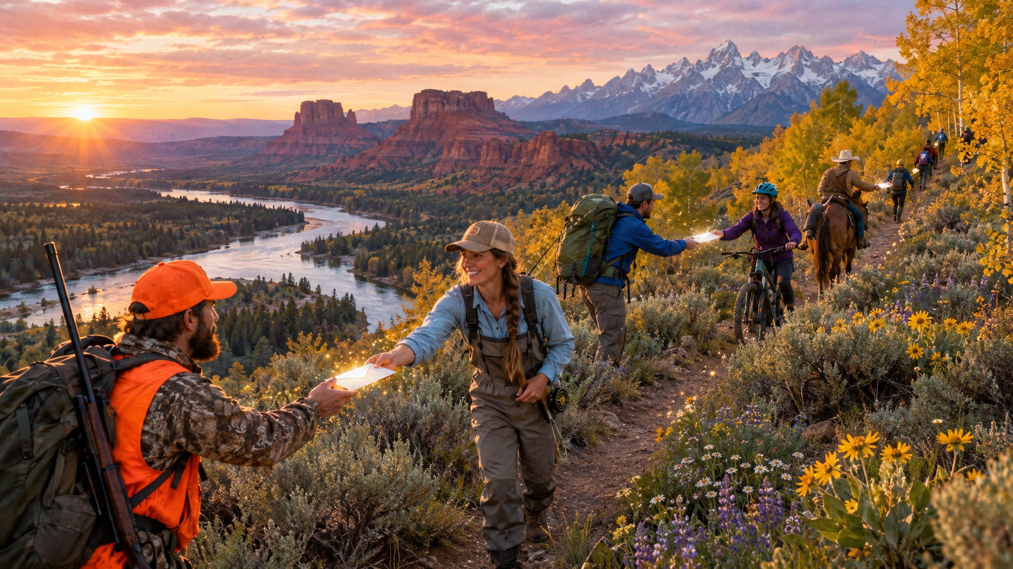
Know a hunter, angler, hiker, or rider who’d do one thing a week for public lands? Forward this email. It’s free, and it takes ten minutes a week.